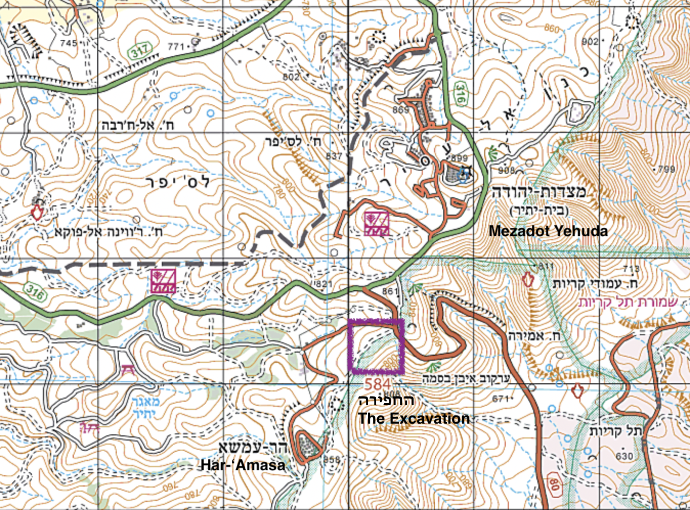
Recently, a final report was published on the rescue excavation that took place in 2020 and continued into 2021. The excavation was conducted by D. Eisenberg-Degen on behalf of the Israel Antiquities Authority and was part of the adopt-a-site Project.
The road is mentioned in numerous studies of the area, noting road stations, water cisterns, reservoirs, guard stations, and watchtowers built along its route. Surveys conducted along the road have revealed curbstones, paving, retaining walls and traces of leveling, as well as built and rock-cut steps.
Today, a well-preserved road segment of approximately 4 kilometers in length can be seen, stretching from Mizpe Qerayot to Dragot quarry. During the excavation, around 80 meters of the Roman road were exposed, and fallen stones were removed while the road’s course was highlighted. A road segment (5.8 meters wide) was revealed, flanked by two walls built from two rows of stones.
The road segment between Hebron and Mampsis is part of a longer road that stretches between Aelia Capitolina – Jerusalem during the Roman period, established in the second century CE, and Aila (near modern-day Aqaba) – the site of the Roman 10th Legion camp, which moved there during the reign of Emperor Diocletian at the end of the third century CE (from Aelia Capitolina).
The road segment between Hebron and Mampsis cannot be dated at this stage due to the lack of archaeological finds, such as milestone inscriptions. The nearest milestone finds discovered beyond this road segment are located south of Mamshit (in the Ma’aleh Aqrabim area) and north of Hebron (one mile north of the city). Nevertheless, the road that was excavated near Har ‘Amasa can be identified as part of the Roman-Imperial road system in the Land of Israel.
For further reading: Eisenberg-Degen, D. Har ‘Amasa (Northeast): Final Report, ‘Atiqot 136 (2024)